What Taipei Historical Maps actually does (from store listing)
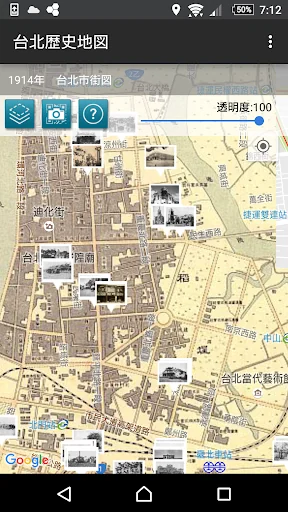
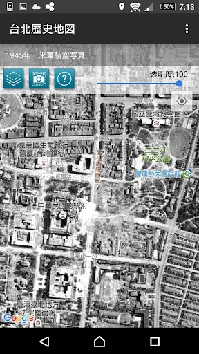
Taipei Historical Maps combines maps and photographs recorded between 1895 and 1974, and integrates them into present-day Taipei using Google Maps and Street View. Equipped with geographical location referencing, the app allows users to transcend history to see how Taipei has changed over time with the help of maps and photographs.
The Center for Geographic Information Systems (GIS) of the Research Center for Humanities and Social Sciences (RCHSS), Academia Sinica, has provided ten different …
Taipei Historical Maps combines maps and photographs recorded between 1895 and 1974, and integrates them into present-day Taipei using Google Maps and Street View. Equipped with geographical location referencing, the app allows users to transcend history to see how Taipei has changed over time with the help of maps and photographs.
The Center for Geographic Information Systems (GIS) of the Research Center for Humanities and Social Sciences (RCHSS), Academia Sinica, has provided ten different street maps of Taipei dating from various time periods. All of the maps depict a general view of the area inside the city wall, Mengjia (Bangka) (present-day Wanhua District), and Dadaocheng. Other contributions include 131 old photographs from the collections of the Institute of Taiwan History at Academia Sinica, the National Diet Library of Japan, and Sunnygate Phototimes.
Disclaimer:
1. The maps provided are for reference purposes only; geographical accuracy is not guaranteed. The GIS is not responsible for any liabilities incurred by the use of this app.
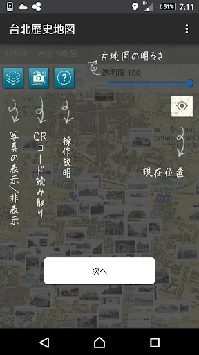
2. The Google Maps and Street View functions may require an internet connection.
Comparable Android apps
The five apps in Travel & Local with the closest revenue to Taipei Historical Maps. Click any to see its detail page.
Each forecast combines App Store rating, ratings count, monetisation model, pricing tier, IAP signals and ad-supported flag.
The base estimate is then multiplied by a per-category scaling factor learned from apps with founder-verified MRR.
Every number on this page comes from public APIs and bumetric's own snapshot history.
Full methodology covers input variables, accuracy bands per category and how we treat apps without comparable anchors.
See also the live data on Taipei Historical Maps's tracker page for current rating, reviews and snapshot timeline.
Building something similar? Get a free AI audit with $-revenue forecasts for every recommendation.


 Hof van Saksen App
 BuBiM
BuBiM
 TrailTale GB Self Guided Walks
 iSKI Slovakia - Ski & Snow
 Bus ticket store