What Bayern in historischen Karten actually does (from store listing)
The location-based services app, "Bayern in historical maps" takes you on a fascinating journey to discover Bavaria cities, towns and monuments. Unique and rare historical maps of Bavaria owned by the Bavarian State Library, of the land boards Apian (1568) to "Topographical Atlas of the kingdoms of Bavaria" (1812-1867) may be considered in all details and explored interactively. Your current position as the viewer is displayed directly in the historical map, a timeline, you can navigate seamless…
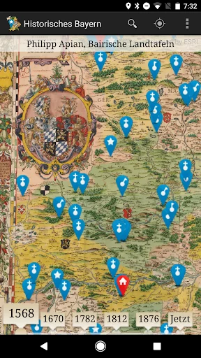
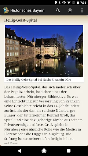
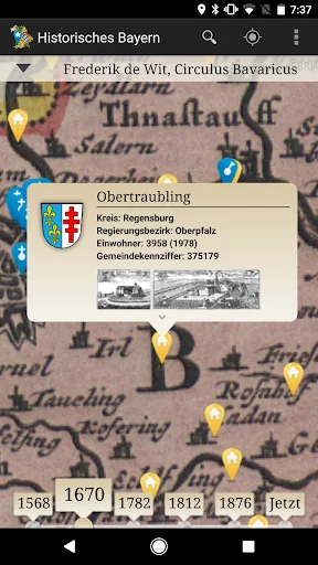
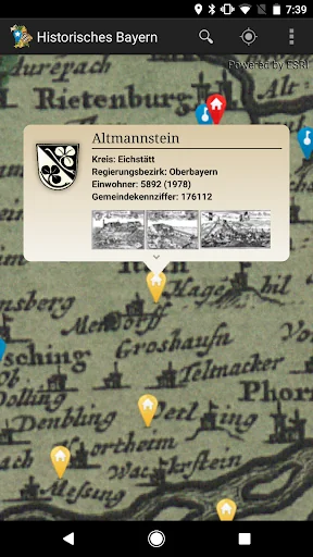
The location-based services app, "Bayern in historical maps" takes you on a fascinating journey to discover Bavaria cities, towns and monuments. Unique and rare historical maps of Bavaria owned by the Bavarian State Library, of the land boards Apian (1568) to "Topographical Atlas of the kingdoms of Bavaria" (1812-1867) may be considered in all details and explored interactively. Your current position as the viewer is displayed directly in the historical map, a timeline, you can navigate seamlessly between different map series. Diverse points-of-interest offer detailed representations to places, castles, monasteries and castles in the area of your site, including 1,000 local historical views of Wening, Merian and Schedel. As a special highlight of Nuremberg offers a variety of multimedia-focused information about the Imperial Castle Town.
The Bavarian State Library is one of the world's largest and most significant research libraries. Their stocks are world famous and valuable works of the written cultural heritage of humanity, including a comprehensive collection of historical maps. The app "Bavaria in historical maps" is a site of the Bavarian State Library on the go and at home. On site you will find your current position in the selected historical map display, as well as interesting places and sites in their vicinity. You can go home in the high-resolution digitized historical maps to a virtual discovery tour through Bavaria. The offer is constantly expanding with new content.
Comparable Android apps
The five apps in Travel & Local with the closest revenue to Bayern in historischen Karten. Click any to see its detail page.
Each forecast combines App Store rating, ratings count, monetisation model, pricing tier, IAP signals and ad-supported flag.
The base estimate is then multiplied by a per-category scaling factor learned from apps with founder-verified MRR.
Every number on this page comes from public APIs and bumetric's own snapshot history.
Full methodology covers input variables, accuracy bands per category and how we treat apps without comparable anchors.
See also the live data on Bayern in historischen Karten's tracker page for current rating, reviews and snapshot timeline.
Building something similar? Get a free AI audit with $-revenue forecasts for every recommendation.


 MO Fishing
 Greatest Places on Earth DEMO
 TmKontakt telefon sprawoçnik
 SBB FreeSurf
 Vijay Travels