Live screenshots from the Play Store, captured by our snapshot worker. Tap any image to enlarge.
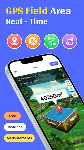
GPS Distance & Land Area Measure app helps you accurately measure land, fields, plots, or yards with ease. Calculate distances, perimeters, and total areas directly on the map using advanced GPS tracking. Designed for precision and reliability, this GPS based measuring app makes land measurement simple, accurate for any professional use.
The GPS Distance & Land Area Measure app is a solution for accurately measuring fields, yards, plots, and open land. Whether you’re a farmer, land surveyor,…
Read full description →
GPS Distance & Land Area Measure app helps you accurately measure land, fields, plots, or yards with ease. Calculate distances, perimeters, and total areas directly on the map using advanced GPS tracking. Designed for precision and reliability, this GPS based measuring app makes land measurement simple, accurate for any professional use.
The GPS Distance & Land Area Measure app is a solution for accurately measuring fields, yards, plots, and open land. Whether you’re a farmer, land surveyor, real estate professional, or a homeowner, this app helps you calculate areas and distances with confidence and ease using reliable GPS Distance & Area Measurement.
Perfect for a wide range of land types, the GPS Distance & Land Area Measure app works seamlessly on farm fields, home yards, gardens, construction zones, sports grounds, parklands, forests, golf courses, and orchards, delivering accurate and dependable measurements wherever you need.
Features:
- A quick and easy way to measure the size of any area with precision.
- Accurately determine the ideal size of land, fields, or plots using Land Area Measure.
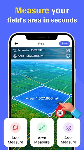
- Measure areas using both manual tools and advanced GPS tracking.
- Simply tap on any location on the map to view instant area details.
- Save, edit, and modify marked areas using flexible editing tools.
- Store all your measurement records by attaching and importing photos.
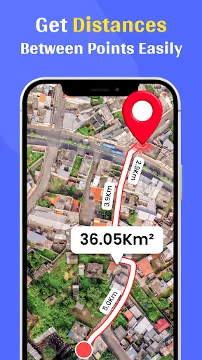
- Find the exact distance between two locations using manual or GPS measurement.
- Measure points of interest (POI) with both manual and GPS based tools.
- Enjoy smart features like zoom in, zoom out, point view, undo, and one tap save.
- Switch map modes easily between normal, satellite, terrain, and hybrid views.
- An efficient tool for measuring area and distance.
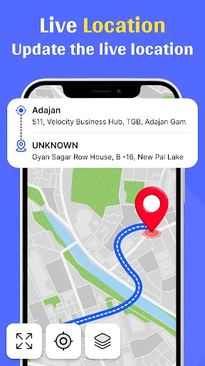
- Get real time measurement and calculations between selected points.
- Perform quick and reliable calculations with high accuracy.
- Drag and drop points smoothly on the map with simple touch controls.
- Save detailed measurements by adding photos from your gallery or camera.
- Clean, modern, and user friendly interface for a smooth experience.
The five apps in Maps & Navigation with the closest revenue to GPS Distance Land Area Measure. Click any to see its detail page.
Each forecast combines App Store rating, ratings count, monetisation model, pricing tier, IAP signals and ad-supported flag.
The base estimate is then multiplied by a per-category scaling factor learned from apps with founder-verified MRR.
Every number on this page comes from public APIs and bumetric's own snapshot history.

 コンビニ・検索(ATM、たばこ、お酒)
 CCRTA Live
 TCL à la demande
 TCHAMA NOIS - Motorista
 meinAnton