“easyAIS” is a free AIS real-time vessel positioning tool designed for the use on AIS receivers with WiFi connectifity.
The Automatic Identification System (AIS) is a maritime transponder/receiver system defined by the IMO (International Maritime Organisation).
AIS main objectives are to improve maritime safety and to protect the maritime environment.
Practically, AIS
•assists collision avoidance (AIS ship-to-ship)
•enables ports and coastal states to identify ships and to manage and super…
“easyAIS” is a free AIS real-time vessel positioning tool designed for the use on AIS receivers with WiFi connectifity.
The Automatic Identification System (AIS) is a maritime transponder/receiver system defined by the IMO (International Maritime Organisation).
AIS main objectives are to improve maritime safety and to protect the maritime environment.
Practically, AIS
•assists collision avoidance (AIS ship-to-ship)
•enables ports and coastal states to identify ships and to manage and supervise the traffic in their waters (AIS Coast station, VTS)
•helps to resolve the difficulty of identifying ships when not in sight (e.g. at night, in radar blind arcs or shadows or at distance)
By means of special VHF transceiver cruise data will be exchanged in short terms automatically. The treatment has a worldwide standard and runs every where. So vessels who use AIS devices from different companies will „see“ each other.
AIS enables to view over obstacles and complements radar. Acording to the antenna instalation hight an AIS station has got a transmission range about 20 to 30 nautical miles.
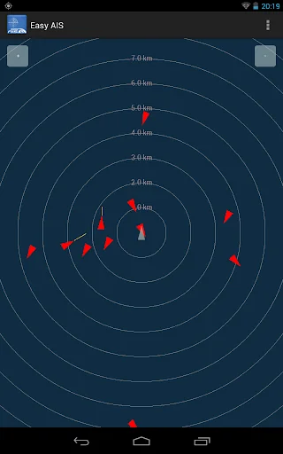
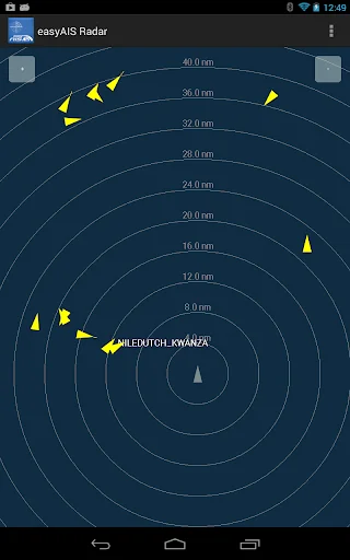
With the “easyAIS” app by the Weatherdock AG, all AIS targets within range are displayed relative to the user's position.
Main screen after starting the app is a virtual radar screen showing the AIS targets in relative position to you
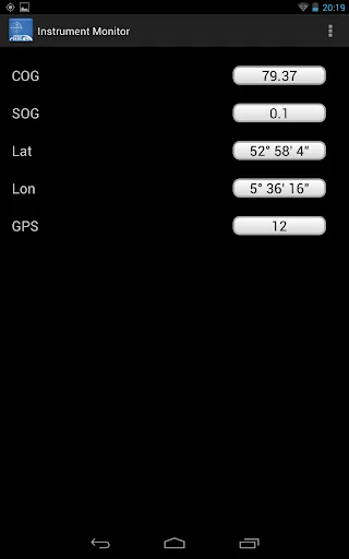
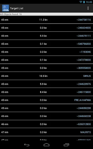
Just tapping the screen on an AIS target brings you to a list with all transmitted details of this target, e.g. GPS position, corse over ground, speed over ground, ship name, call sign, length, width, draft, port of registration …
“easyAIS” works by getting AIS data via WiFi from the AIS receiver or transceiver aboard. Without a running AIS
Notice:
“easyAIS” should not be used for navigational purposes!
Comparable Android apps
The five apps in Tools with the closest revenue to easyAIS. Click any to see its detail page.
Each forecast combines App Store rating, ratings count, monetisation model, pricing tier, IAP signals and ad-supported flag.
The base estimate is then multiplied by a per-category scaling factor learned from apps with founder-verified MRR.
Every number on this page comes from public APIs and bumetric's own snapshot history.
Full methodology covers input variables, accuracy bands per category and how we treat apps without comparable anchors.
See also the live data on easyAIS's tracker page for current rating, reviews and snapshot timeline.
Building something similar? Get a free AI audit with $-revenue forecasts for every recommendation.

 Developer Options
 Password Manager - Secure Note
 Pull Me App - Apps Launcher
 Airzone Cloud
 Just Timekeeping