What Munţii Noştri actually does (from store listing)
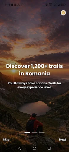
"Muntii Nostri" brings nostalgia to the fans of the collection published by Sport-Tourism publishing house between 1974 and 1992. It is a modern travel guide, created using the latest mapping techniques and updated content.
Over the years, the use of Muntii Nostri application has proven its effectiveness and potential to save lives in critical situations up on the mountains, through its content and features:
• each trail comes with clear directions, a description and (where appropriate) obser…
"Muntii Nostri" brings nostalgia to the fans of the collection published by Sport-Tourism publishing house between 1974 and 1992. It is a modern travel guide, created using the latest mapping techniques and updated content.
Over the years, the use of Muntii Nostri application has proven its effectiveness and potential to save lives in critical situations up on the mountains, through its content and features:
• each trail comes with clear directions, a description and (where appropriate) observations about seasonality, sections where directions might be unclear due to trail markings that are scarce or barely visible, information about water sources, etc.
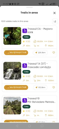
• all trails have useful technical details (difficulty, length, total ascent, total descent, duration, maximum elevation, etc.) and a graph.
• each mountain region contains a list of approved trails to the date when the map was published, all based on GPS tracks.
The current version of Muntii Nostri application has an approach that is even closer to the needs of the community:
• the user can download maps and trails, including mountain groups and regions (counties) for offline use.
• each trail comes with points of interest (and reference points), a detailed description of the tourist attractions in the area (where applicable).
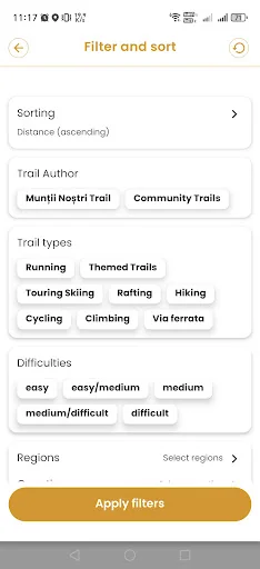
• the user can select filter values such as trail type (hiking, cycling and so on), region (county), or the mountain area where the trails are located, trail characteristics (difficulty, duration, distance, total ascent) or together with the trails downloaded on the phone.
• available languages: Romanian or English
• the user can share the trail link on social networks, mail platforms, in personal notes, or directly via text messages.
• the application uses vector layers displaying detailed maps with GPS-based targets for a more effective guidance.
• each trail comes with weather information from the nearest town.
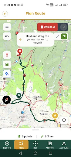
• planning is available in online mode
Comparable Android apps
The five apps in Travel & Local with the closest revenue to Munţii Noştri. Click any to see its detail page.
Each forecast combines App Store rating, ratings count, monetisation model, pricing tier, IAP signals and ad-supported flag.
The base estimate is then multiplied by a per-category scaling factor learned from apps with founder-verified MRR.
Every number on this page comes from public APIs and Bumetric's own snapshot history.
Full methodology covers input variables, accuracy bands per category and how we treat apps without comparable anchors.
See also the live data on Munţii Noştri's tracker page for current rating, reviews and snapshot timeline.
Building something similar? Get a free AI audit with $-revenue forecasts for every recommendation.


 Urlaubsgruss - Postcard App
 Dhaweeye Darawal
 HomeExchange - House Swapping
 Volotea
 大甲媽祖
大甲媽祖