What UgCS for DJI actually does (from store listing)
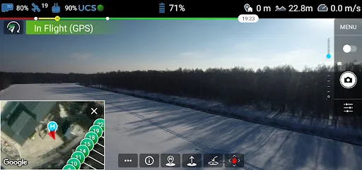
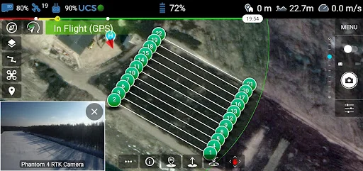
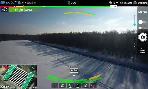
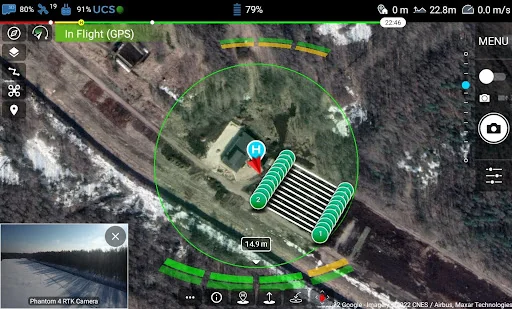
The UgCS for DJI app is designed to establish a connection between the DJI drone and the UgCS desktop to upload and carry out previously planned automatic AreaScan, Photogrammetry, Vertical (Facade) scan, Corridor Mapping and other drone survey mission. UgCS for DJI can also be used as a stand-alone application to manually fly a DJI drone and capture photos or videos.
Compatible with DJI’s:
- M600 / M600 PRO
- M300
- M200, M200 v2 series, M210, M210RTK
- M100
- Mavic Pro, Mavic 2 Pr…
The UgCS for DJI app is designed to establish a connection between the DJI drone and the UgCS desktop to upload and carry out previously planned automatic AreaScan, Photogrammetry, Vertical (Facade) scan, Corridor Mapping and other drone survey mission. UgCS for DJI can also be used as a stand-alone application to manually fly a DJI drone and capture photos or videos.
Compatible with DJI’s:
- M600 / M600 PRO
- M300
- M200, M200 v2 series, M210, M210RTK
- M100
- Mavic Pro, Mavic 2 Pro/Enterprise/Zoom
- A3
- N3
- Inspire 2
- Inspire 1
- Phantom 4
- Phantom 4 PRO series
- Phantom 4 PRO V2.0
- Phantom 4 ADV (will be detected as the profile of Phantom 4 PRO)
- Phantom 3 (all editions)
- Spark.
UgCS for DJI features:
- Establish connection with UgCS desktop enabling full access to features to plan, control and fly drone missions;
- Upload planned and calculated missions from UgCS desktop to DJI drone;
- Start uploaded mission manually or in auto-mode;
- Manual flight mode;
- Flight simulator;
- Live HD camera view;
- Camera view stream to UgCS Desktop;
- Manage camera settings and controls (gimbal pitch and yaw);
- Capture photos and videos;
- Reset home position;
- Command vehicle to return to the home position;
- Check telemetry data;
- Supports metric and imperial units.
Requires: UgCS desktop
Download the latest version of UgCS: https://ugcs.com/download
About UgCS desktop
UgCS is a complete platform to plan and fly drone survey missions. Automated drone mission planning, built-in photogrammetry, facade scan, and geotagging tools, map customization and battery exchange option for long routes make UgCS an effective solution for a wide range of applications.
Control your drones with UgCS https://ugcs.com
Comparable Android apps
The five apps in Productivity with the closest revenue to UgCS for DJI. Click any to see its detail page.
Each forecast combines App Store rating, ratings count, monetisation model, pricing tier, IAP signals and ad-supported flag.
The base estimate is then multiplied by a per-category scaling factor learned from apps with founder-verified MRR.
Every number on this page comes from public APIs and bumetric's own snapshot history.
Full methodology covers input variables, accuracy bands per category and how we treat apps without comparable anchors.
See also the live data on UgCS for DJI's tracker page for current rating, reviews and snapshot timeline.
Building something similar? Get a free AI audit with $-revenue forecasts for every recommendation.

 Zelio Wi-Fi
 FIFCO ONE
 3C Sensitive Backups
 Protegus Old Version
 Kalender Österreich